


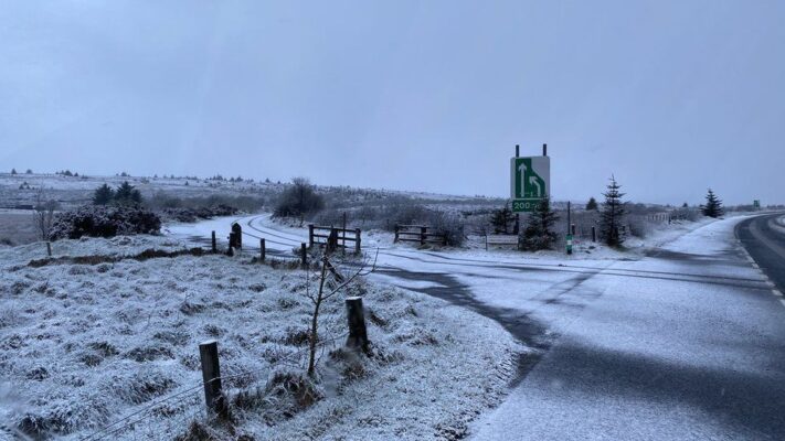
Glenshane Pass covered in a blanket of snow this morning
Snow was lying on the Glenshane Pass early on Wednesday and was clearly visible on the hills around Derry.
The heaviest showers could fall as sleet or snow throughout Wednesday on the highest parts of the Sperrin mountains or the Antrim hills.
That will especially be the case as temperatures fall on Wednesday night.
The other element of Wednesday night’s weather will be frost.
It is not a night to leave seedlings outdoors and in the coldest spots temperatures could drop to as low as -4C.
ccording to the Met Office, the snowiest May on record was most likely in 1979, when 342 weather observation sites reported snow on 2 May across the UK as a whole.
This snowy spell lasted through the whole of the first week of that month. The light snow showers we’ve seen this May seem slight in comparison.
Also according to the Met Office, the average number of days of falling snow in Northern Ireland in May is 0.3 days, with 0.0 days of lying snow.
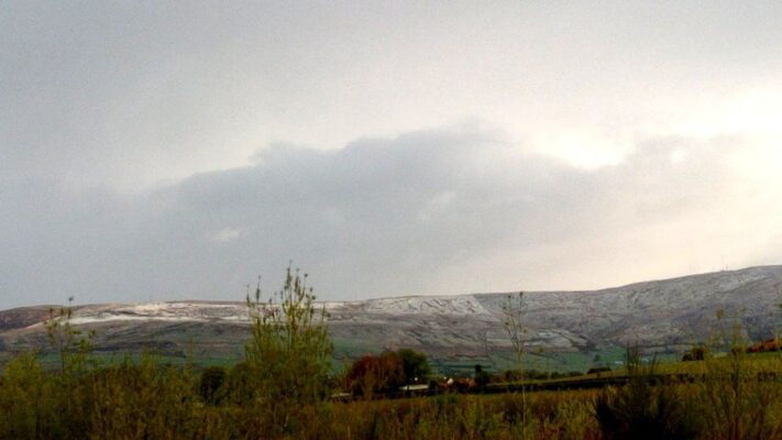
Snow on the hills around Derry on Wednesday morning
A complete contrast to the cold, wet bank holiday Monday when more rain fell in 24 hours than in the whole of last April.
Looking ahead, temperatures will slowly come up again and eventually get close to the average this weekend, but it will be unsettled with spells of rain and strong winds at times.
It is likely to be “warm rain” rather than the “freezing rain” that fell on the bank holiday Monday.
Tags: